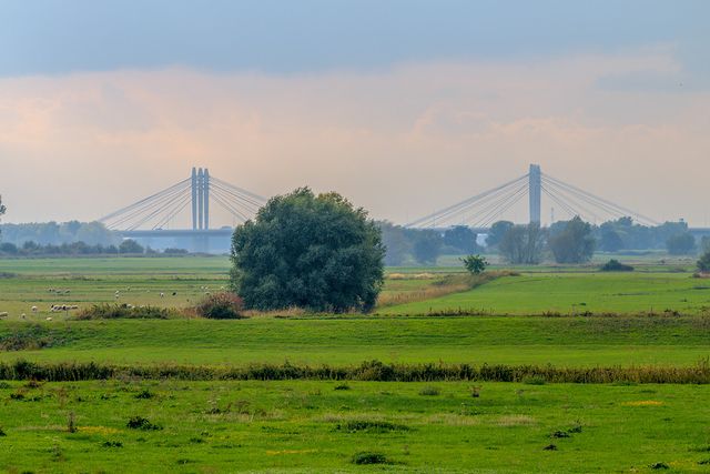
Submerged villages in the west
-
What:
Cycling route -
Distance:
53 km

Over the centuries, the waters of the Waal, the Rhine and the IJssel have had a major influence on the living conditions of the region’s inhabitants. You can experience these influences on this route.
Over the centuries, the waters of the Waal, the Rhine and the IJssel have had a major influence on the landscape and the living conditions of the people in the Arnhem region. The ‘Drowned Villages’ cycle routes introduce you to the water-rich areas in the surrounding countryside. This western route takes you past villages where the water took over: Doornik, Oosterhout and Heteren. This cycle route can be combined with the ‘Drowned Villages – East’ route. This cycle route can be combined with the ‘Drowned Villages – East’ route.
Would you like to shorten or extend the route along the way? At every junction, you’ll find a map with junction numbers, allowing you to easily customise your route yourself.