Hollanderbroek Circular Walk
-
What:
Walking route -
Distance:
10 km
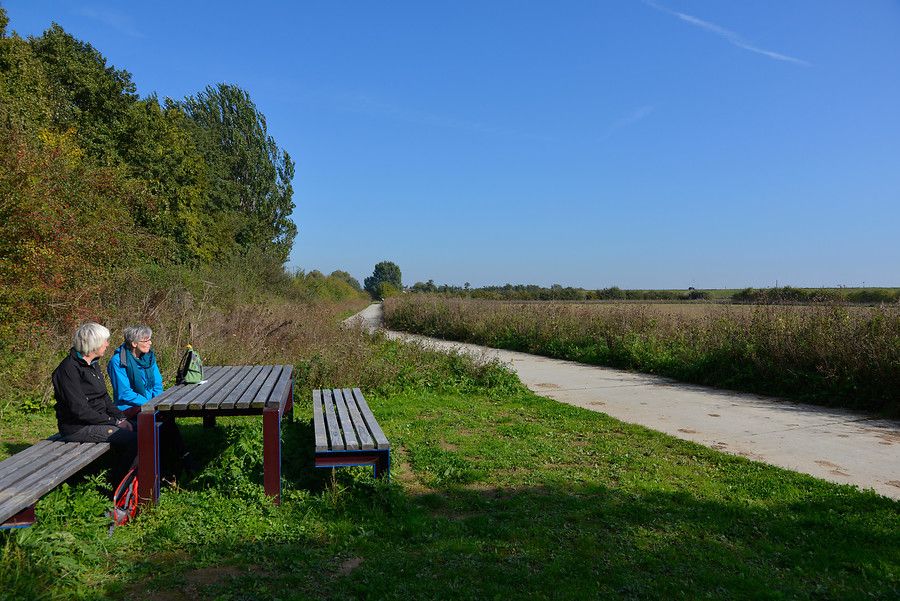
This walk consists of two ‘ routes’: the Homoet Loop and the Kom Loop. You’ll pass through the Vitens water extraction area. The open landscape of Park Lingezegen is interspersed with landscaped planting and copses.
The Rondje Hollanderbroek combines two walking routes through Vitens’ rural water extraction area. You’ll walk the Rondje Homoet (5.2 km) and Rondje Kom (4.6 km) across alluvial plains and through marshland. Along the route, you’ll come across signposts and various information boards about nature, cultural history and land use. The open landscape is interspersed with scenic planting and copses.
Along the way, you’ll enjoy the area’s incredibly diverse flora and fauna. Depending on the time of year, you’ll encounter different plants and animals. The Icarus blue butterfly is mainly found in grasslands and flower-filled scrubland. In the pools and ditches, you’ll see common reed. A watercourse with nature-friendly banks, created by the Rivierenland Water Board, provides a habitat for fish, dragonflies and other insects. Flowers blooming here include water lilies, yellow irises, cat’s-tail and greater knapweed. In the drier parts of the hay meadows, you’ll see teasels, whilst the low-lying areas are home to meadow birds such as lapwings, meadow pipits, black-tailed godwits, redshanks and yellow wagtails.
The ‘Rondje Homoet’ walk takes you through the Oostermeint copse with its winding avenue of poplars, and you’ll pass an area with woven hedges. The ‘Rondje de Kom’ walk takes you through the Bremerton copse, which features a pond with a variety of riparian and aquatic plants. In spring, parts of the forest floor are covered with bright yellow lesser celandine flowers.
General information
- You’ll be walking along natural paths. Please bear this in mind when choosing your footwear and clothing.
- In wet weather, wearing wellies is recommended.
- The nearest places to eat and drink are in Driel and Valburg.
- The starting point is accessible by car via the N837. At the roundabout, head south onto the dead-end road. On Langstraat, turn right towards Fikkersdries, where there is limited roadside parking. Please note: Langstraat and Hollanderbroekstraat are closed to cars coming from the direction of Elst. You can, however, cycle along these roads.
- Dogs are only permitted on the walking routes if kept on a lead.
Download the brochure for the two walking routes here.