Water as a Weapon – Driel
-
What:
Cycling route -
Distance:
42 km
This cycle route takes you past sites that tell the story of water during the Second World War.
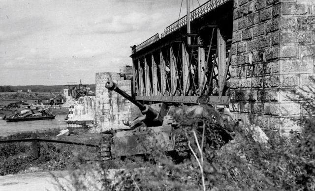
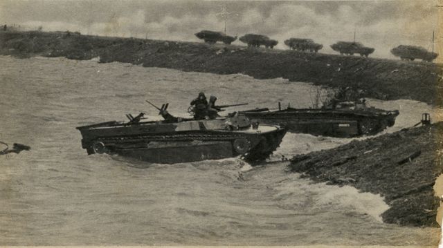
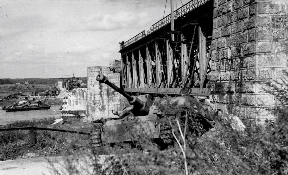
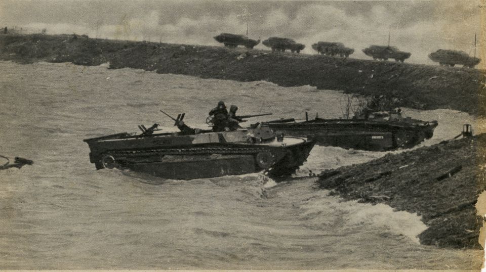
The fact that people can use water as a weapon became clear during the Second World War. In December 1944, a large part of the Dutch-German border area was flooded, and in February 1945, dykes near the German town of Kleve were blown up as a defensive measure. The soldiers used the high river water levels to defend themselves against their enemy. The flooding had major consequences for residents, the warring parties and inland waterway skippers. Nevertheless, the water was ultimately unable to halt the Allied advance. This cycle route takes you past sites that tell the story of water during the Second World War. Halfway along the route, you will pass the Driel lock and weir complex, which regulates the flow of water into the IJsselmeer and still ensures that sufficient fresh water remains available for agriculture and shipping.
You can experience the ‘Water as a Weapon’ story via this cycle route and a second one. Click here to go to the other cycle route: Kleve | Rindern – Doornenburg.
Would you like to shorten or extend the route along the way? At every junction, you’ll find a map with junction numbers, allowing you to easily customise your route yourself.