
Local walks in Zevenaar and Overbetuwe
Whether you’re a keen walker or prefer short strolls, people are creatures of habit. That’s why we often go to places we already know. But it’s only when you venture off the beaten track that you discover new things. For example, how wonderful it can be to walk through areas that aren’t immediately obvious. So why not put on your walking boots and set off on a walk in Zevenaar and Overbetuwe!
A journey back in time
There’s no shortage of beautiful nature in Zevenaar and Overbetuwe, but these areas also have a rich history, so you’ll learn something whilst you’re out walking! For example, Operation Market Garden played a major role in the municipality of Overbetuwe, amongst other places. Find out more on the ‘De Polen van Driel’ walking route, which forms part of the Overbetuwe walking network. Or experience the history and dynamism of Spijk’s eventful river landscape by walking the Klompenpad Rijnweidepad.
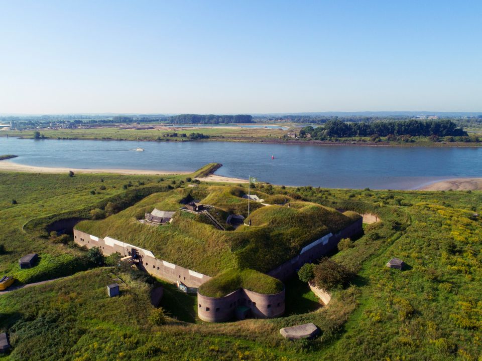
Don’t miss the fort in Pannerden either; this strategically situated fort, at the junction of the River Waal and the Pannerdensch Canal, was a key link in our country’s defences for centuries. Further on, part of the Roman northern frontier, the Limes, runs through the area. The Liemers trail network, part of the wider Liemers walking network, takes you right past it.
Art & culture
Is history not quite your thing after all, and would you rather experience something cultural? Even then, the walking networks have plenty to offer. For example, walk the Kunst & Parkenpad, which forms part of the network in De Liemers. On this route, you’ll discover green parks and contemporary art installations in and around Zevenaar. The trail is marked with green arrows. Or take the two-part themed walk, KleiGoed. This route consists of two loops, marked with blue and black arrows. Along the way, you’ll learn about clay extraction and the brick and tile industry in Druten.
Plan your own itinerary
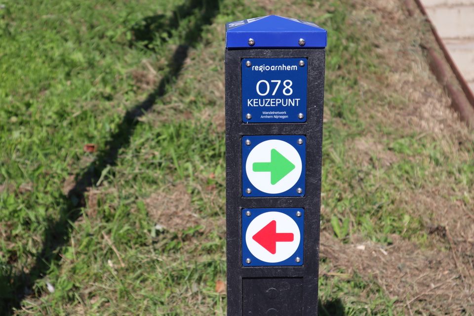
All the ‘ routes ’ that form part of the new walking networks are marked with easy-to-follow, coloured arrows. These are clearly distinguishable even for people who are colour-blind. This is very practical, as it means you can focus all your attention on the surroundings and everyone can effortlessly discover new spots!
Would you rather plan your own walking route on the network? Then make clever use of the junctions. Various ‘ routes ’ converge at these junctions, so at each one you can continue your walking route or switch to a different one. Would you like to add a section to your route? Or would you prefer to take a shortcut? Then, from a junction of your choice, simply follow the colour of your new route. The online walking route planner and (printed) walking maps make planning even easier!
Looking for more ‘ routes’? - Perhaps these are just the thing for you?
-
Trail 7: Where De Liemers meets the Achterhoek
Trail 7: Where De Liemers meets the Achterhoek (21 km)
A distinctive feature of this route is that it takes in no fewer than four municipalities: Zevenaar, Doesbu...
-
Beekhuizen Walk
Beekhuizen Walk (8 km)
The Beekhuizense Beek rises from the springs and streams on the Beekhuizen estate. Springs...
-
Four Days’ March: The Elst stage (long)
Four Days’ March: The Elst stage (long) (59 km)
This is the route that walkers follow on day 1 of the Four Days Marches! The route takes you...